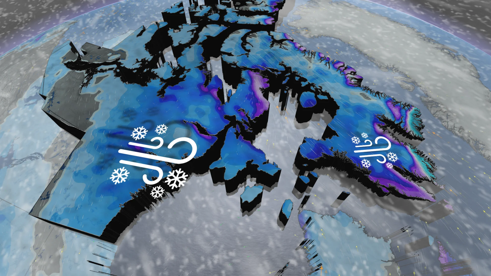
Dangerous blizzard takes aim at Nunavut again, one week after extended outage

Blizzard warnings are in effect as a low pressure system is set to bring strong northwest winds to the Kivalliq region of Nunavut, including Baker Lake, through Thursday
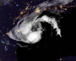
Just one week after a dangerous winter storm hit Arviat, Nunavut, and left the region without power for days, forecasters are once again tracking potent blizzard conditions, which may spread into similar areas impacted last week.
MUST SEE: Canada's Winter Forecast: El Niño a critical factor for the season ahead
"This time, we wont be expecting anywhere close to the record breaking wind gusts that swept through last week, but it will still be enough to create some dangerous weather," warns Rachel Modestino, a meteorologist at The Weather Network.

Baker Lake is already under a blizzard warning, but Arviat and Baffin Island could be impacted as well.
A strong and stagnant upper level low over Hudson Bay will pull in multiple rounds of storms over the next 48 hours.
READ ALSO: Blizzard shuts down Nunavut's Kivalliq region, cuts power in Arviat

Conditions are expected to deteriorate overnight Wednesday and into Thursday, with bursts of heavy snowfall at times.
Wind gusts between 50-70+ km/h are likely, producing reduced visibility, whiteouts and blizzard-like conditions into Friday.

"Extremely hazardous road conditions can be expected due to reduced visibility," says Environment and Climate Change Canada in the blizzard warning. "Visibility will suddenly be reduced to almost zero at times in heavy snow and blowing snow. Be prepared for changing road conditions that deteriorate quickly."
The cold weather will also put anyone who is not dressed warmly enough at risk of frostbite or hypothermia.