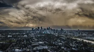
Despite rain in Yellowknife area, fire threat remains
Visit The Weather Network's wildfire hub to keep up with the latest on the unprecedented wildfire season across Canada.
Officials say the fire burning near Yellowknife is now "highly unlikely" to reach the outskirts of the city until at least Wednesday.
Over the weekend, the fire was expected to move four to five kilometres toward Yellowknife.
Mike Westwick, fire information officer for the N.W.T. government, said the fire moved between 100 and 200 meters closer to the city, but lighter winds than expected and successful firefighting efforts have kept the fire about 15 kilometres away.
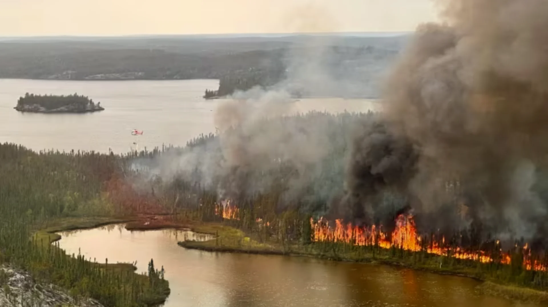
Significant rain also dampened the blaze that has forced the evacuation of about 20,000 residents in Yellowknife, Ndilǫ and Dettah with about 4.7 millimeters falling on the fire itself and 10 millimeters in the city.
"It's almost a frustrating amount of rain because you'd want more to keep the situation at bay in the long term," Westwick told The Trailbreaker Monday morning.
DON'T MISS: Alberta woman organizes rescue mission for horses from Yellowknife
Still, that rain "has opened new opportunities for managing this fire," reads the latest update from N.W.T. Fire.
While winds were expected to push the fire back onto itself on Monday, Westwick said hot, dry temperatures were expected to return for the rest of the week — renewing the risk to the city.
"Even as fire activity has been dampened by rain, there remains threat to the capital region due to the deep-burning fire which exists along a huge section of line and is currently being held down by weather conditions," reads the update.
Westwick explained that crews have been scanning the fire with infrared equipment to determine hot spots and there's still about 40 kilometres of "hot line."
With current conditions, crews will be able to attack the fire directly in the coming days. They also continue to build more than 10 kilometres of control lines to the west of the city and are considering controlled burns to further prevent any fire growth.
The fire's burn area was last mapped at about 167,000 hectares.
WATCH: Wildfires in Northwest Territories force unprecedented rescue operation
Four fires threatening capital area
Four separate fires are threatening the Yellowknife area. The largest is between Behchokǫ̀ and Yellowknife, along Highway 3.
A second has been burning north of the Ingraham Trail. While the latest update from N.W.T. Fire states that this fire is unlikely to reach the Ingraham Trail in the next three days, it is currently the "most active" of the four.
"Infrared scanning indicated significant hot areas along the southern perimeter of the fire," it reads.
So far, this fire has burned three structures and was last mapped at 50,200 hectares.
A third fire has moved to 29 kilometres southeast of Dettah.
SEE ALSO: Reasons for wildfires are complex; scientists say climate change plays key role
The update from N.W.T. Fire stated that controlled burns in the area were "delayed for the time being."
The agency said crews have prepared a control line from Great Slave Lake to Jennejohn Lake and are now "ready to execute when the right opportunity presents to head off the northward and westward growth toward the Ingraham Trail and Dettah should this become necessary."
This fire's burn area was last mapped at 49,500 hectares.
Finally, the fourth fire is 43 kilometres north of Yellowknife and nine kilometres west of Duncan lake.
This is the smallest of the four and was last mapped at 17,300 hectares. For now crews are monitoring the burn without any active firefighting efforts.
Thumbnail image courtesy of N.W.T. Fire via CBC News.
This article, written by Francis Tessier-Burns, was originally published for CBC News. With files from Hilary Bird.