Extreme pattern over Arctic produces 50+ degree temperature spread

A rare feat, the Northwest Territories notched the warmest and coldest temperatures in Canada on Friday
The Arctic is no stranger to wild weather swings. But Friday’s conditions took those extremes to a new level.
An area of high pressure parked over the Yukon drove warmth out of the Rockies into the Northwest Territories. The foothills in the southern N.W.T. saw their first 20°C day slightly ahead of schedule.
DON’T MISS: In the N.W.T., an approaching wildfire season is fuelling anxiety
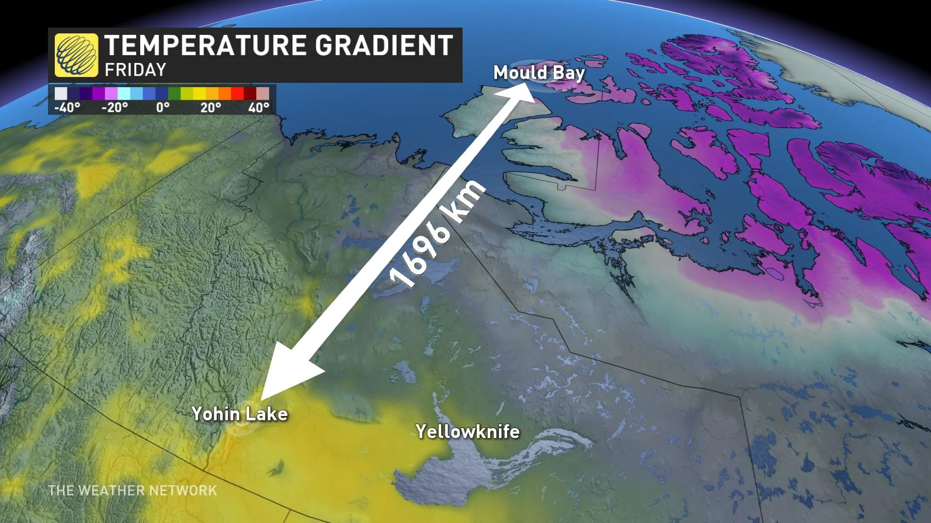
Yohin Lake, N.W.T., reached 21.5°C on Friday, making it the national hot-spot for the day. Readings usually don’t reach that benchmark until the final few days of April or in early May.
Meanwhile, the jet stream arching over that area of high pressure was able to drive Siberian air into the high Arctic, forcing the temperature in Mould Bay, N.W.T., to drop to -31.8°C.
This 53-degree spread occurred over a range of 1,696 km, which averages out to one degree of warmth per 31 km.
MUST SEE: Severe storms in China unleash cherry blossom blizzard, large hail
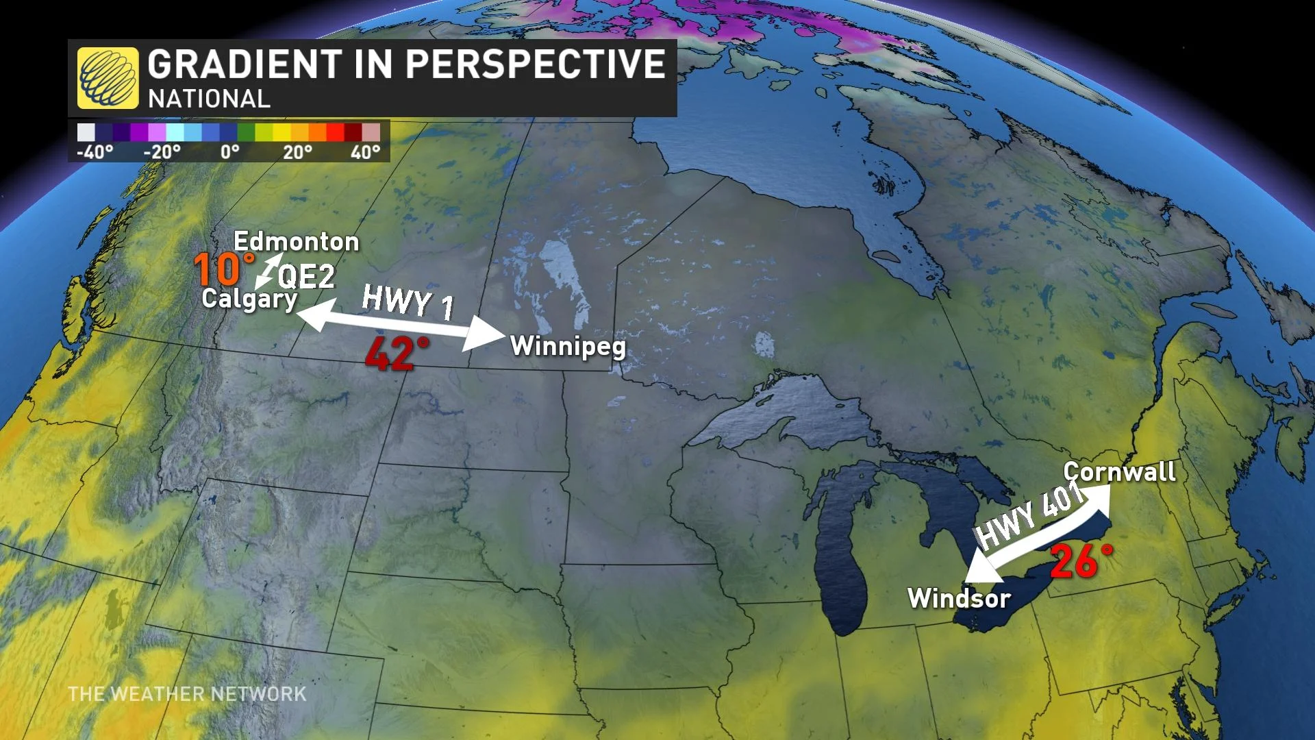
If that kind of temperature change occurred along the QE2 in Alberta, temperatures in Edmonton and Calgary would be 10 degrees apart.
A similar temperature gradient over Highway 1 from Calgary to Winnipeg would see a 42-degree spread.
Over in Ontario, the drive from Windsor to Cornwall would see a 26-degree range in readings if temperatures changed at the same rate as we saw over the Arctic on Friday.
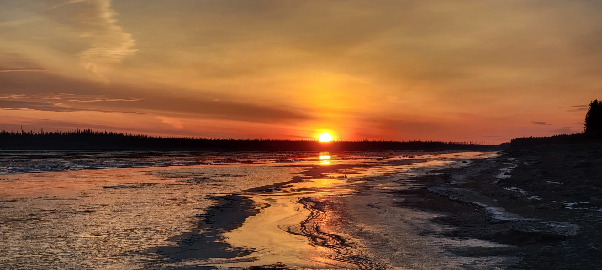
Header image courtesy of Donna Sake in Jean Marie River, N.W.T.