Bye, August! Season's first snow dusts roads as fall creeps closer

A few lucky communities in Eastern Canada saw their first snow of the season on the final day of August
Ready or not, here it comes.
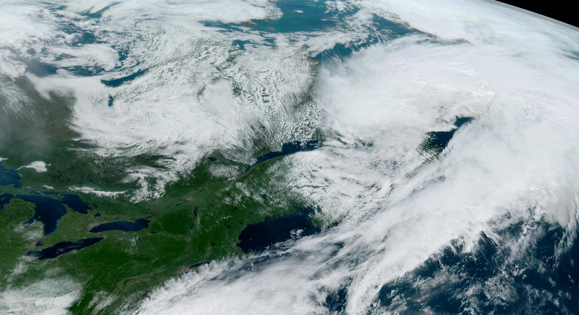
The first flakes of the season fell across parts of Eastern Canada on Thursday, ending the month of August and the final day of meteorological summer with a dusting of frozen paradise accumulating on roads winding across higher elevations.
DON'T MISS: Why the first snowfall of the season can catch drivers by surprise
We’ve seen a strong trough dipping over Eastern Canada to round out the week, allowing temperatures to drop across sections of Labrador overnight Wednesday into Thursday.
WATCH: Radar shows late-August snow falling in parts of Labrador
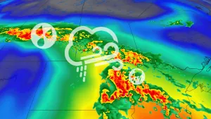
A low-pressure system swinging through the region had plenty of tropical moisture to work with, soaking much of Atlantic Canada with heavy rains for the past couple of days.
That tropical moisture fell in the form of snow for folks at higher elevations, as evidenced by a picture taken by Valerie Rideout and circulated on Twitter by @Route370NL.
MUST SEE: It’s not your imagination—here’s why fall is the foggiest season
This may have been Eastern Canada’s first snow of the season, but a vigorous system that swept across the western half of the country during the middle of August brought light snowfall accumulations to higher elevations across the Rockies in British Columbia and Alberta.
Thursday’s snow in Labrador didn’t amount to much, and it certainly didn’t stick around for very long, but its arrival is a reminder that fall weather continues its steady march our way—even as sizzling temperatures are on the way to start September for some.
Snow at the end of August seems unusually early, but we're creeping rather close to the first bouts of frozen precipitation migrating toward lower latitudes.
Nain, the northernmost community in Labrador, typically records about 2 cm of snow in September.
RELATED: Why the Great Lakes can produce some of the world's heaviest snows
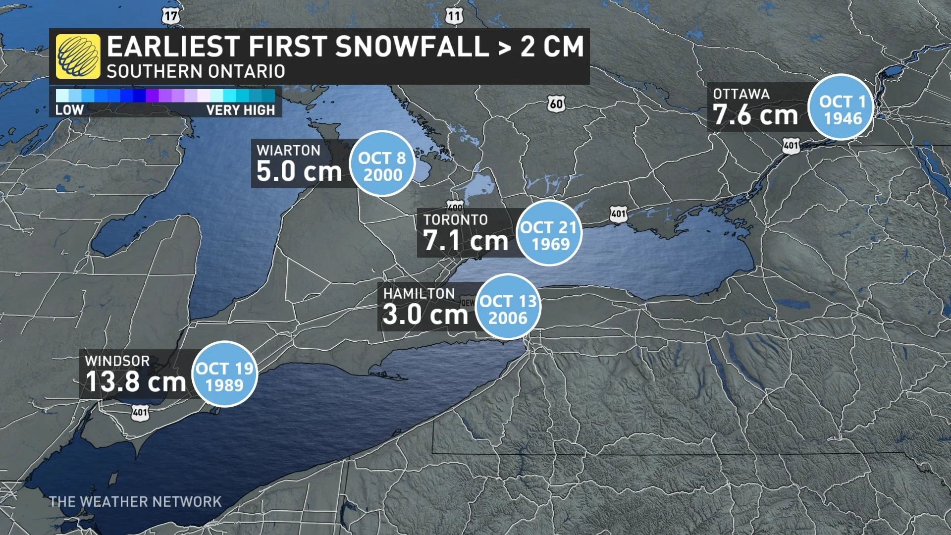
Folks across southern Ontario usually have to wait until late October or November before they see their first decent snowfall.
Ottawa's earliest snowfall of 2 cm or greater occurred on October 1, 1946, when 7.6 cm blanketed the capital city. Down in Toronto, the earliest decent thump of snow fell on October 21, 1969, when observers measured 7.1 cm in the city.