Flood risk in parts of Ontario rises with ample rain, severe storm threat
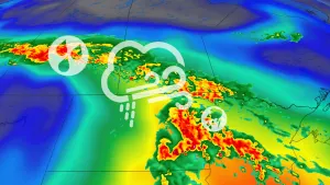
Parts of Ontario will be facing a severe storm threat once again on Sunday, with much of the focus of shifting into eastern sections where substantial rainfall amounts could lead to flooding
After a stormy Saturday that prompted tornado warnings in parts of southern Ontario, a similar setup for Sunday is taking shape with the bulk of the severe weather chance moving into eastern areas of the province.
A low-pressure system will continue to bring significant rainfall to the region Sunday, with widespread rainfall warnings and special weather statements in place. Some areas could see as much as 100 mm through Monday, elevating the risk of flooding.
RELATED: Watch? Warning? How we communicate severe weather in Canada
Conditions will also be favourable for thunderstorms to reignite, with the greatest chance of severe weather extending from the Niagara region to Ottawa. Heavy downpours will only enhance rainfall totals in soaked regions, increasing the chance of flooding. In addition, large hail and strong winds are possible.
Monitor the radar for storms approaching your region throughout the weekend. Have a way to get warnings the moment they’re issued, and have a plan in place to take shelter if severe thunderstorms threaten your location.
Storm, flood threat continues on Sunday
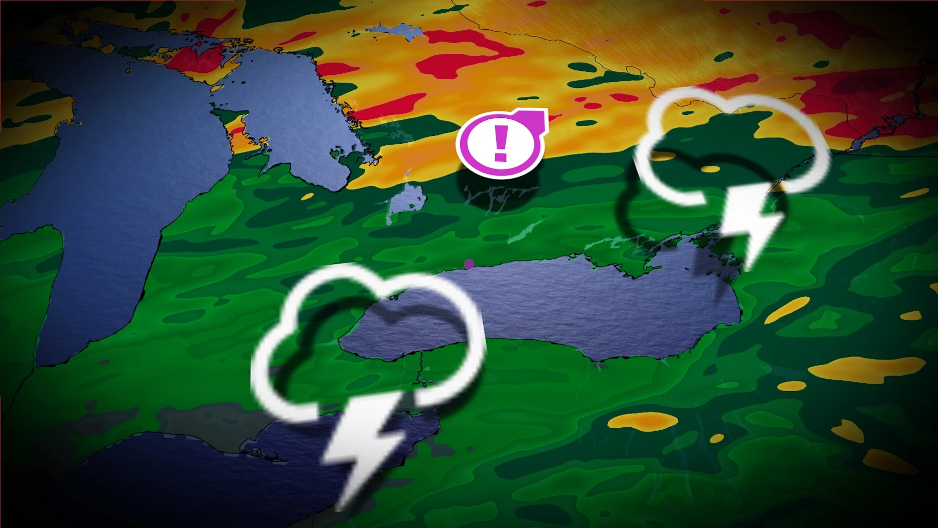
The low-pressure system that brought rain and storms to Ontario on Saturday will linger into Sunday as it slowly moves east across the province.

Drenching rains will persist through the overnight hours and into the day Sunday across central and eastern Ontario, where totals could amount to 75-100 mm by the time rain lets up late Sunday. Locally higher totals are possible.
Widespread rainfall warnings are in effect across these areas through the remainder of the weekend. “Heavy downpours can cause flash floods and water pooling on roads. Localized flooding in low-lying areas is possible.” Environment and Climate Change Canada (ECCC) said in its warnings.
DON’T MISS: Tornadoes can happen anywhere—and cities aren't immune

Forecasters expect a renewed round of thunderstorms to build across southern and eastern Ontario as a warm front lifts north and a cold front marches in from the west.
Dynamics are favourable for thunderstorms to turn severe, packing the risk for torrential downpours, gusty winds, and large hail. The greatest chance of severe weather will stretch from Niagara region to parts of cottage country, including the Greater Toronto Area, extending into eastern Ontario.

There is a possibility of seeing some rotating storms across eastern Ontario, but the greatest risk is in southern Quebec.
The threat will diminish by the evening hours as the cold front moves through and storms push east out of the region.
Remember, never try to drive across a flooded roadway. It’s impossible to tell how deep the water is until it’s too late. Sometimes the road is washed out beneath floodwaters. It takes a surprisingly small amount of moving water to lift up a vehicle and carry it away.
WATCH: Tornado safety tips you can’t afford to miss
Stay tuned to The Weather Network for the latest forecast across Ontario.