Severe storms kick off first day of summer in southern Ontario
Remain alert for watches and warnings on Friday and Saturday as rounds of strong to severe storms targets portions of southern Ontario
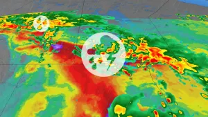
The first official day of summer arrived in style across southern Ontario as some vivacious thunderstorms roared over the region on Thursday.
Lingering heat and humidity will drive additional opportunities for thunderstorms on Friday and again to start the weekend on Saturday. Watch out for lightning, heavy rain, and gusty winds in any of the feistier cells that bubble up.
MUST SEE: Storms threaten Ontario's first weekend of summer, a look into early July
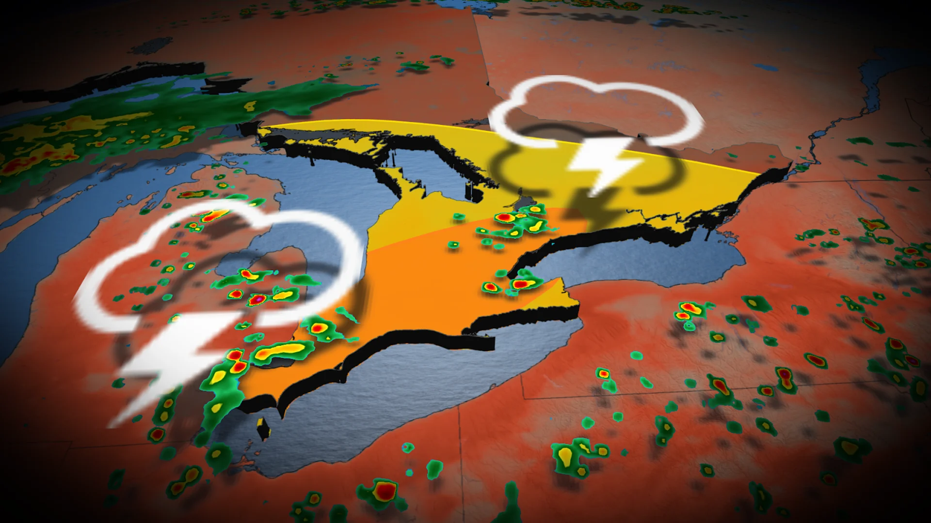
Severe storms possible Friday
A muggy and unsettled stretch of weather continues over southern Ontario as we head into Friday. Even though the worst of the heat is waning, we’ll see enough instability with daytime heating and lingering humidity to trigger another round of widespread thunderstorms across the region. With the scattered nature of the storms, however, not everyone is going to see one.

RELATED: Watch? Warning? How we communicate severe weather in Canada
Given the dynamics in place, we could see some thunderstorms meet severe criteria across southwestern Ontario and the Greater Toronto Area. The strongest storms could produce torrential rains and locally gusty winds.

Some storms will be capable of dropping 50 mm of rain in just a couple of hours. This could lead to localized ponding on roadways beneath any slower-moving cells. Flash flooding is possible in urban areas.
Saturday sees a renewed storm risk
We’re watching the progress of a low-pressure system moving toward Ontario for the beginning of the weekend.
This system pushing into the Great Lakes region will drag a warm front across eastern and central sections of Ontario Saturday morning and southern Ontario by the afternoon. This will bring widespread, significant rainfall to the province, as well as pave the way for thunderstorms to move in off of Lake Huron.

Thunderstorms are likely to develop along that warm front as it arrives, bringing a risk for heavy rainfall and strong wind gusts to communities in the path of these storms.
There is still some uncertainty around where exactly the storms will develop and track to, but major cities such as London, Hamilton, and the Greater Toronto Area will all be at risk to see severe storms on Saturday.

Widespread rain is likely farther north into central Ontario, with the most significant rainfall expected between Sault Ste. Marie and eastern Ontario. Here, 50-75+ mm of rain is expected.
The widespread rain will also reach into Quebec, putting a rainy damper on Saint-Jean-Baptiste Day celebrations.
WATCH: Storms, landspouts roar over southern Ontario on Thursday
Stay tuned to The Weather Network for the latest forecast across Ontario.