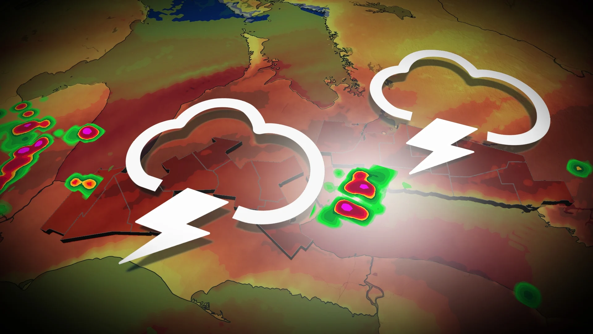
Heat, humid air mass reignites thunderstorm chance in southern Ontario
In addition to the extremely high temperatures and humidity, southern Ontario will be dealing with another chance of thunderstorms on Wednesday, so make sure you stay weather-aware.
With the ongoing heat dome parked over the Great Lakes, the resulting hot temperatures and humidity are sparking another chance of thunderstorms for southern Ontario on Wednesday.
A very moist and humid air mass is in place in southern Ontario, something very noticeable with the higher humidex values. The muggy air was enough to spark pop-up thunderstorms on Tuesday.
RELATED: Watch? Warning? How we communicate severe weather in Canada
The atmosphere will remain in an unstable state on Wednesday, so additional thunderstorm activity is possible throughout the entire day with more organized storms inland developing into the afternoon.

If they do come to fruition, some of the thunderstorms could become severe due to the threat of torrential rainfall and locally gusty winds.
The atmosphere has ample amounts of moisture, so the greatest risk with these storms is heavy rain, especially since the storms will slowly drop a lot of rain in the same location.

Regions that see sustained thunderstorm activity are capable of accumulating over 50 mm of rainfall in just a couple of hours.
Another round of thunderstorm activity will be possible throughout the evening and overnight hours.
There will be the potential for localized flooding as storms move slowly across, dropping lot of rain over the same location, especially in urban areas where flash flooding is a possibility.

Exactly where and the timing of the storms is uncertain, but storms will initially develop inland from Lake Ontario, moving closer to the shoreline through the early evening hours. However, there is low confidence on another round of storms late into the evening.
Widespread heat warnings are in effect, as well, as temperatures soar well into the 30s, feeling closer to 40 with the humidex.
As well, there are special air quality statements in place because of the stagnant, hot, humid air mass.
WATCH BELOW: Find out what sets this heat wave apart from the rest in Ontario & Quebec
Stay tuned to The Weather Network for more weather updates across southern Ontario.


