Large hail, tornado threat with today's severe storms in Manitoba, NW Ontario
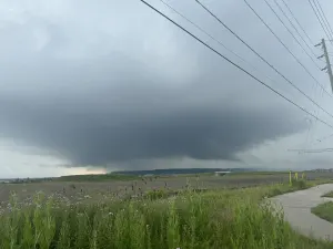
Stay alert: A severe storm threat covers southern Manitoba and northwestern Ontario throughout the afternoon and evening on Wednesday. Large hail, strong winds, and the risk of tornadoes are all on the table
A severe weather risk spans parts of Central Canada on Wednesday, with large hail, powerful winds, and even the risk for tornadoes accompanying the storm threat. Following Tuesday's thunderstorms across Alberta, the severe weather risk now shifts towards southern Manitoba and northwestern Ontario.
There could be two rounds of storms that move through, with the stronger ones targeting the mid-afternoon to early evening hours on Wednesday. A second round of weaker storms are likely to roll through Wednesday overnight, and through Thursday morning.

RELATED: Watch? Warning? How we communicate severe weather in Canada
It will be important to stay on top of the weather watches and warnings in your area, as conditions can change quickly when severe weather hits.
Wednesday: Severe thunderstorm threat, potential for tornadoes
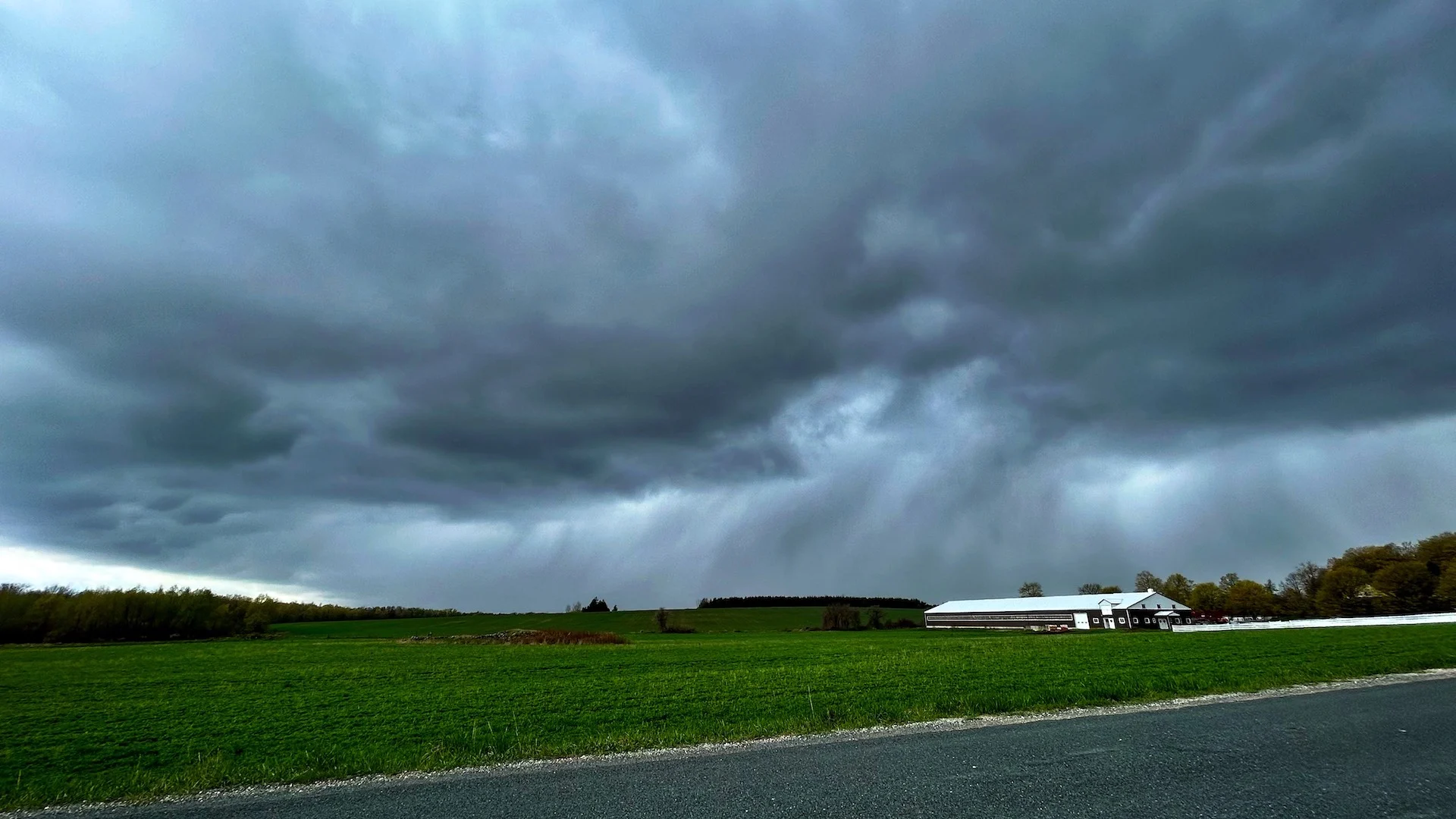
Thunderstorms will begin to track through southern Manitoba during the early afternoon, bringing the threat of strong wind gusts and large hail, up to toonie-sized, to much of the region.
Scattered storms will continue throughout the evening as well, impacting Winnipeg and Brandon.

DON'T MISS: What to do if a tornado warning is issued
The storms will then continue eastwards, gaining strength as the system tracks towards northwestern Ontario throughout the afternoon and evening hours. There is a threat for damaging, large hail in the region, potentially reaching golf ball to tennis ball sizes.
Strong winds up to 100 km/h will be felt across northwestern Ontario, as well. There is some risk for tornadoes to develop as the system moves through the regions, so be sure to be alert throughout the storm's duration.

RELATED: If Canada's tornado alley is shifting east, how can we better prepare?
With the potential of very large hail, any community in the path of the storm could sustain extensive damage. Drivers along Highways 1 and 16 in southern Manitoba, and 11 and 17 in northwestern Ontario are urged to adjust travel plans accordingly. Areas including Kenora, Dryden, Fort Frances, and to the western shores of Lake Superior are especially at risk of seeing some severe conditions.
MUST SEE: How hail – of all shapes and sizes – forms, falls from sky
By Thursday, the severe storm threat shifts into sections of southern Ontario, and western Quebec, where again, large hail, strong winds and the risk for tornadoes are all on the table.
Northern Ontario has already seen its fair share of severe weather this month. An EF2 tornado was confirmed to have occurred on June 4 northeast of Dryden, making it the first EF2 tornado of 2024 in Canada.
Looking ahead, temperatures will be on the chillier side to end the work week in both southern Manitoba and northern Ontario. Southern Manitoba will see a significant warm up on Saturday, before turning much cooler in time for Father's Day. The reverse will happen in northern Ontario, with temperatures trending warmer throughout the weekend.
WATCH BELOW: Tornado safety tips
Stay tuned to The Weather Network for more weather updates across the Prairies and northern Ontario