Heavy rain continues overnight for already-soaked southern Quebec
Rain continues overnight after a stormy day in southern Quebec
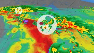
The first weekend of the summer ended with a bang across southern Quebec as multiple waves of severe thunderstorms swept across the region.
Sunday afternoon's storms packed torrential rains and gusty winds as a low-pressure system moved into the region from the west.
DON'T MISS: Your changeable Canada Day forecast may turn into a game of musical chairs

Another disturbance moving in through the overnight hours will spark an additional round of heavy rain and rumbles of thunder heading into Monday morning.
Folks across Metro Montreal can expect a wet morning commute as this rain makes its way through the area.

All told, we’re looking at widespread rainfall totals of 75-100 mm throughout southern Quebec. Some areas may see storm totals of up to 125 mm by the time precipitation finally ends on Monday.
Given all the rain we’ve had of late, watch for ponding and localized flooding in vulnerable areas.
Remember, never try to drive across a flooded roadway. It’s impossible to tell how deep the water is until it’s too late. Sometimes the road is washed out beneath floodwaters. It takes a surprisingly small amount of moving water to lift up a vehicle and carry it away.
Sunny and warm conditions will spread over southern Quebec by Tuesday, with the warmth and humidity lingering into Wednesday before unsettled conditions arrive with another cold front.
WATCH: Tornado safety tips you can’t afford to miss
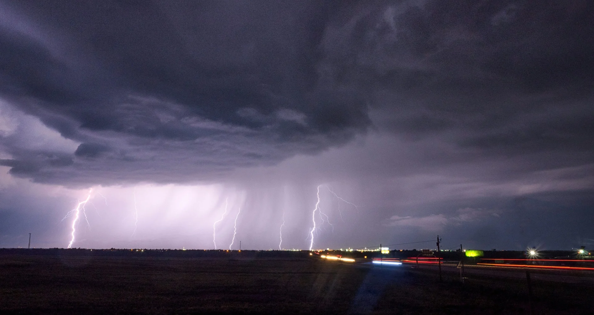
Header image courtesy of Unsplash.
Stay tuned to The Weather Network for the latest forecast across Quebec.