New research highlights where 'The Big One' earthquake could hit
New research offers a clearer picture of a fault line hundreds of kilometres long off the West Coast that is predicted to generate a major earthquake and tsunami commonly known as "The Big One."
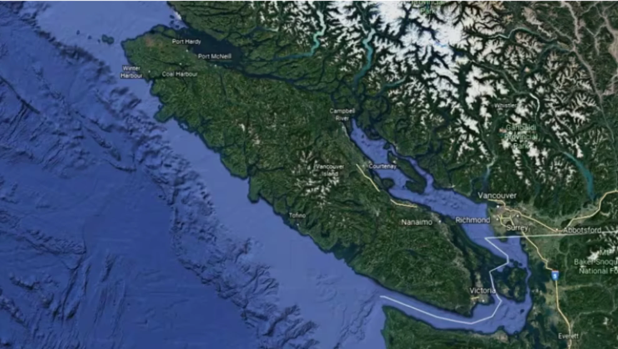
The study confirms that the northern part of the fault, close to Vancouver Island and Washington, is most likely to produce a major earthquake.
"It's giving us the first really detailed look at this huge megathrust fault that we've long known about but haven't had any details about," Edwin Nissen, a University of Victoria earth and ocean science researcher who was not involved in the research into the fault line where two tectonic plates are meeting.
The research, recently published in the prestigious journal Science Advances, produced the most detailed picture researchers have yet had of the fault zone spanning more than 900 kilometres from northern California to Vancouver Island — imaging they say helps them understand the magnitude and probability of earthquakes.

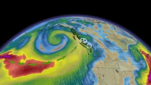
The Cascadia Subduction Zone is likely to produce a major earthquake near Vancouver Island, sometimes referred to as 'The Big One.' (Google Earth)
Subduction zones are regions where two massive slabs of rock, known as tectonic plates, collide — one plate sliding under the other towards the earth's mantle.
In the Cascadia Subduction Zone, the Juan de Fuca tectonic plate is slowly sliding underneath the North American plate.
Most of the time, the plates are locked in place, pushing against each other and building stress. Once every several hundred years or so, they generate a major megathrust earthquake and large tsunami.
According to Suzanne Carbotte, the study's lead author and Columbia University marine geophysicist, many subduction zones produce small earthquakes. These help researchers understand the faults and fragmentations deep in the earth. However, in the Cascadia zone, where these earthquakes aren't common, researchers didn't have that information.
SEE ALSO: Earthquake study suggests the 'big one' could be much worse than expected

Suzanne Carbotte, lead author and Columbia University marine geophysicist, published the research in Science Advances last week. (CBC News)
About 50 researchers and crew took to the water on a ship that traced the Cascadia fault line. The ship was equipped with sophisticated imaging technology, which Nissen said is usually used by oil and gas companies for exploration.
"Most academic scientists don't have the kind of money these companies have," Nissen said. "To get this kind of data for a purely scientific purpose is really exciting."
Researchers sent low-frequency sound pulses into the fault. A 15-kilometre-long receiver, towed behind the boat equipped with hydrophones, picked up the resulting echoes. With this information, researchers created high-resolution images.
They found the surface where the Juan de Fuca and North American plates interlock is much more complex and jagged than they had previously mapped.
Kelin Wang, a researcher with the geological survey of Canada and adjunct professor at the University of Victoria who was not involved in the research, said a survey of this scale hasn't been conducted before.
He said it helps explain historical earthquakes near the northern Pacific Ocean, such as the one that hit North America and the resulting tsunami that reached Japan in 1700.
"In a couple of years, we'll know a lot more about this system if we begin to model earthquakes and incorporate this information," he said.
While it's not possible to actually predict earthquakes, Carbotte said the information will help hazard-researchers understand the probabilities of earthquakes and tsunamis. Those models can inform building codes and tsunami evacuation plans to protect coastal populations.
"The probabilities are high that we're going to see a megathrust earthquake in the [Pacific Northwest] in the next 100 years," Carbotte said. "[This research] does very much inform the hazard and resilience mitigation efforts."
This article, written by Isaac Phan Nay, was originally published for CBC News. With files from Lyndsay Duncombe