Storm, wind potential reignites in Manitoba and northwestern Ontario
The threat of severe weather will return to northwestern Ontario on Sunday, bringing the potential for heavy rain, strong winds and hail. Residents should stay alert and prepare for sudden weather changes
The original article with forecast details are below:
Any Father's Day plans involving the great outdoors in Manitoba and northwestern Ontario will need backup ideas for the indoors as there will be a threat of thunderstorms and blustery wind gusts looming over the two provinces.
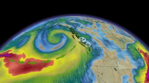
A cold front and low-pressure system will be responsible for potentially ruining some Father's Day plans outside on Sunday afternoon and evening, whipping up some howling wind gusts and a risk for thunderstorms.
RELATED: Watch? Warning? How we communicate severe weather in Canada
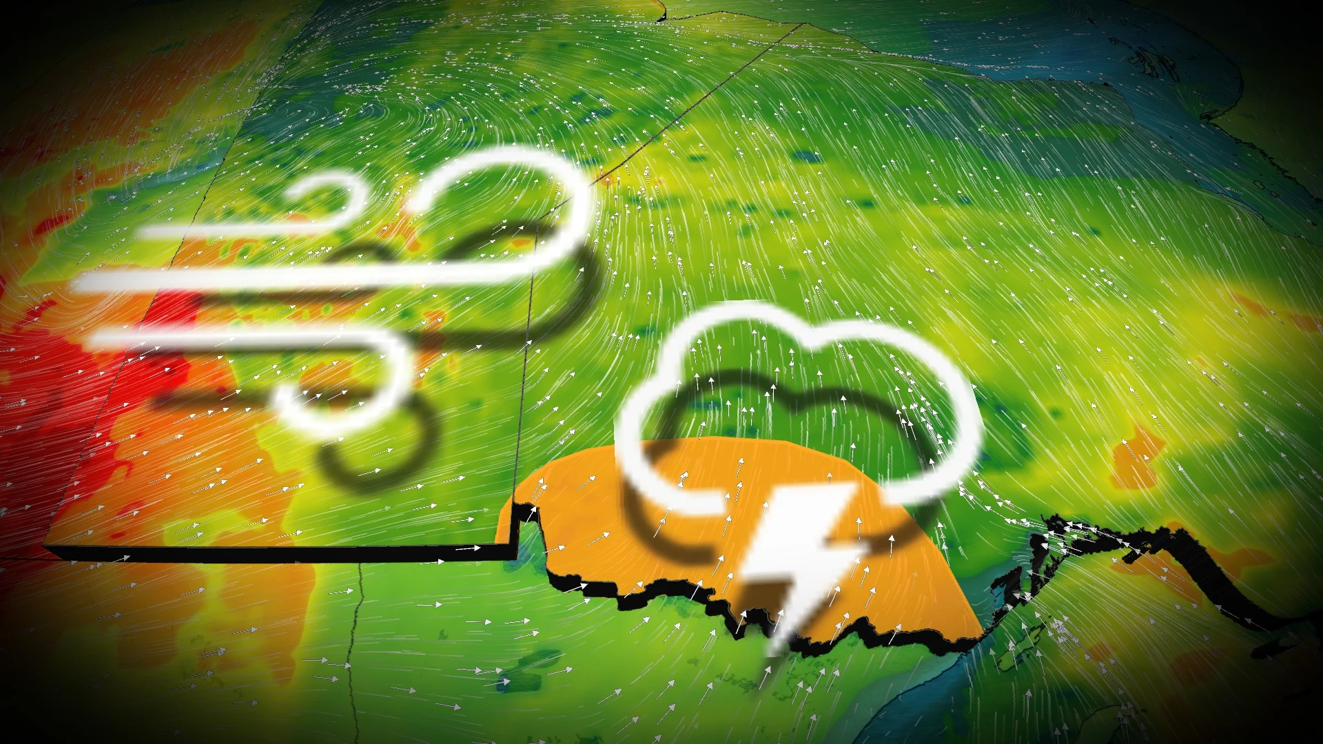
Some of the storms in northwestern Ontario on Sunday could turn severe, with large hail, strong wind gusts and heavy rainfall the primary risks associated with any that form.
It will be important to stay on top of the weather watches and warnings in your area, as conditions can change quickly when severe weather hits.
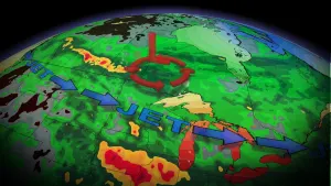
Sunday: Severe thunderstorm risk surfaces in northwestern Ontario, blustery winds farther west
A cold front draped over Saskatchewan and Manitoba is going to bring some blustery conditions early Sunday evening, with winds gusts reaching up to 90 km/h.

As well, as a weaker, low-pressure system nudges into northwestern Ontario, the warmer temperatures and daytime heating will bring about the risk of very scattered, but potentially severe thunderstorms during the evening on Sunday.
While the instability will bring about the risk of non-severe thunderstorms farther north, closer to the international border, the risk is greater for more severe storms to materialize.
DON'T MISS: What to do if a tornado warning is issued

The main hazards associated with any severe storm that formulates will be heavy rainfall, strong wind gusts and nickel-sized or greater large hail.
The timing has some uncertainty associated with it as the thunderstorms can vary, but some models suggest them developing slightly earlier in the afternoon on Sunday.
MUST SEE: How hail – of all shapes and sizes – forms, falls from sky

Northern Ontario has already seen its fair share of severe weather this month. An EF-2 tornado was confirmed to have occurred on June 4, northeast of Dryden, making it the first EF-2 tornado of 2024 in Canada.
WATCH BELOW: Tornado safety tips
Stay tuned to The Weather Network for more weather updates across the Prairies and northern Ontario