A look back at the record-breaking Toronto Islands floods
On this day in weather history, the Toronto Islands reached their peak flooding.
This Day In Weather History is a daily podcast by Chris Mei from The Weather Network, featuring stories about people, communities and events and how weather impacted them.
--
In late spring 2017, the Toronto Islands flooded as Lake Ontario reached its highest-ever recorded level.

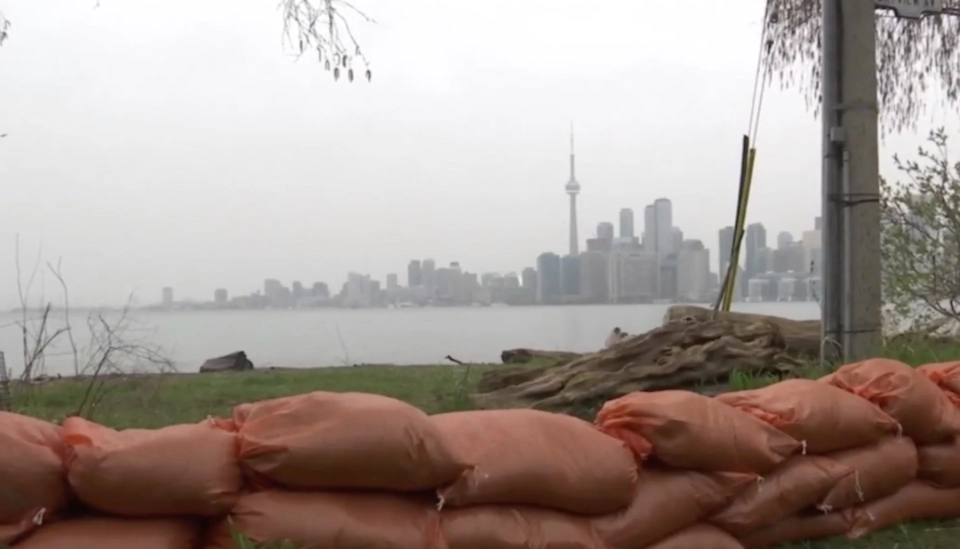
Toronto Islands, 2017. Courtesy of TWN
The Greater Toronto Area received copious amounts of rain that led to Lake Ontario rising 75.93 metres above sea level.
The Toronto Islands are a popular place to visit during the summer, but they're home to 800 people, 30 businesses, and two schools.
In May, the flooding reached its peak. There were carp flopping in the Island's streets that had flooded and turned into rivers. Residents' lawns flooded as well, and so they became ponds for geese and ducks to enjoy.
Click here to subscribe to This Day in Weather History
To keep the water out of homes, the city used more than 45,000 sandbags, 27 industrial pumps, and 1,000-metre bags.
Ferry services stopped for three months, costing $6.34 million in lost revenue.
Even with all the preventative efforts, around 50 per cent of the buildings were impacted. Additionally, between 50 to 60 per cent of the parklands were affected.

Toronto Islands, 2017. Courtesy of TWN
The damage cost the city’s parks, forestry and recreation department around $8.45 million and an additional $7.38 million for short-term repairs.
To learn more about the 2017 Toronto Islands floods, listen to today's episode of "This Day In Weather History."
Subscribe to 'This Day in Weather History': Apple Podcasts | Amazon Alexa | Google Assistant | Spotify | Google Podcasts | iHeartRadio | Overcast'
Thumbnail: Courtesy of TWN