Severe storms continue overnight after tornadic day on the Prairies
Strong to severe storms continue overnight throughout Saskatchewan
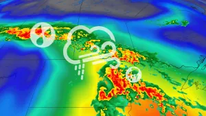
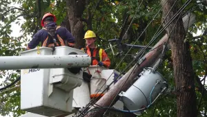
An outbreak of severe thunderstorms hammered portions of Saskatchewan through the second half of Sunday, bringing several confirmed tornadoes, large hail, and damaging winds to the region.
At one point on Sunday, forecasters tracked six simultaneous supercells capable of producing tornadoes.
While the tornado threat waned as the sun set on Sunday, the threat for severe weather will continue through the overnight hours.

Locally intense storms will pose a threat for large hail, damaging winds, and very heavy rainfall rates heading into the evening and overnight hours.
Continue monitoring the radar for storms tonight and stay alert for warnings that may be issued for your location.
The original article with the forecast from earlier Sunday continues below.
A low-pressure system moving across the western Prairies will spark a risk for severe thunderstorms throughout portions of Alberta and Saskatchewan on Sunday.
That will come after tornado warnings were prompted in parts of Saskatchewan Saturday evening, though nothing was confirmed to have occurred.
MUST SEE: Your changeable Canada Day forecast may turn into a game of musical chairs
On Sunday, we’ll see thunderstorms develop through the afternoon and evening hours, potentially targeting the Edmonton, Saskatoon, and Regina areas. Parts of southern Saskatchewan will be at risk of one or two tornadoes, alongside large hail, heavy downpours and potent wind gusts.
Remain alert through the day for watches and warnings in your area. Proactively monitor the radar and ensure you have a plan in place if severe thunderstorms threaten your community.
Sunday storms may turn severe, tornadic on parts of the Prairies
Forecasters expect thunderstorms to develop through the afternoon and evening as a low-pressure system pushes east through Alberta toward Saskatchewan.

Sunday’s overall severe storm risk covers an expansive area that includes the Yellowhead Highway from Edmonton to Saskatoon, Highway 11 from Saskatoon to Regina, and most of the Saskatchewan portion of the Trans-Canada Highway.
Given the greater instability and winds present over southern Saskatchewan, the stronger storms could develop into supercells capable of producing damaging wind gusts, large hail up to three or four centimetres, and potentially one or two tornadoes.

Areas outside of southern Saskatchewan, but still within the severe-possible range, could still see large hail, strong wind gusts and heavy downpours.
Make sure you stay alert through the day for watches and warnings in your area. Proactively monitor the radar and ensure you have a plan in place should severe weather occur.
WATCH: Tornado safety tips you can’t afford to miss
Stay tuned to The Weather Network for the latest forecast for the Prairies.
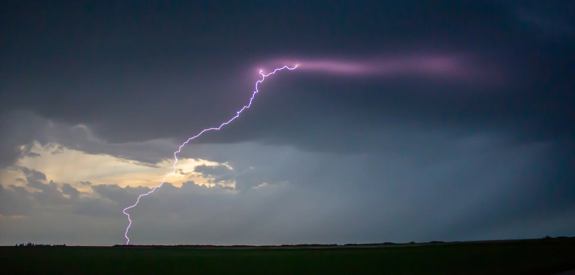
Header image courtesy of David Cuylle in Waldheim, Sask.