Historical Typhoon Maysak looks to make landfall in South Korea late Wednesday

Looks like the storm will still be at a Category 2 when it makes landfall in South Korea late Wednesday.
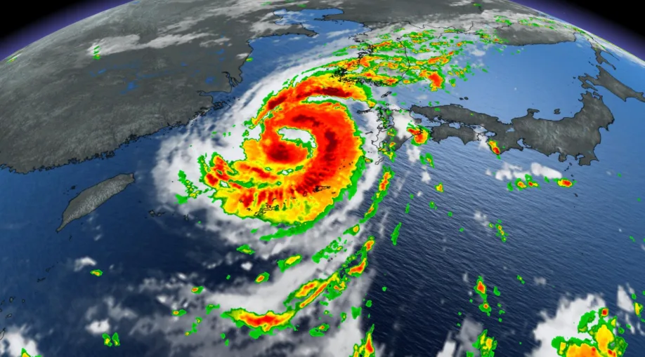
Powerful Typhoon Maysak was at what is expected to be its peak strength Tuesday, just as it was passing through Japan's Ryukyu Islands en route to the Korean Peninsula.
The storm has sustained winds more than 215 km/h, with even higher gusts, making it Category 4 storm.
The storm is expected to begin losing strength over the coming days but is still on track to be a Category 2 strength when it makes landfall in South Korea late Wednesday.

Only five category 2 (or stronger) typhoons have made landfall in South Korea since 1959, according to the U.S. National Oceanic and Atmospheric Administration.
It's not immediately clear what effect the storm has had on the Ryukyu Islands, including Okinawa, the largest and most populous of the chain, but Japanese broadcaster NHK says storm surge up to 13 metres was possible, along with winds "strong enough to cause houses to collapse" and rainfall in excess of 200 mm.
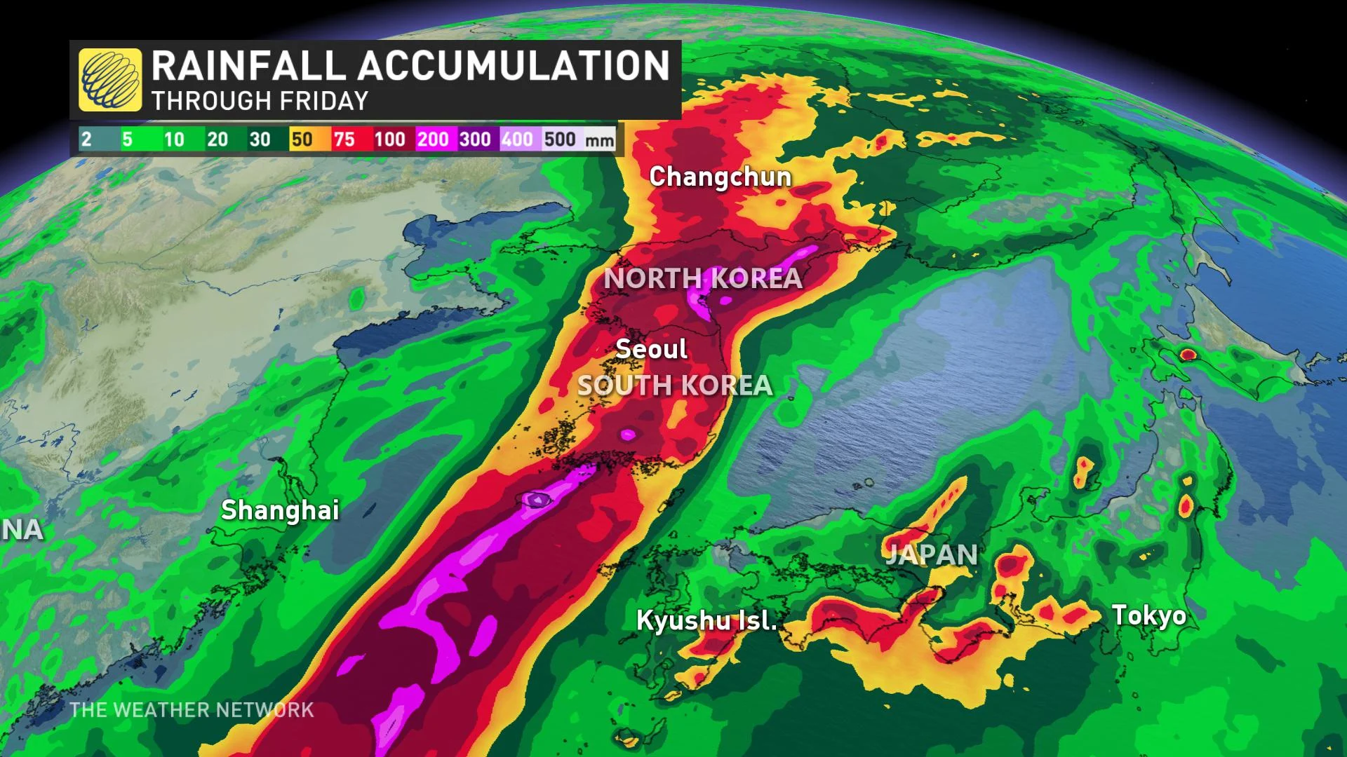
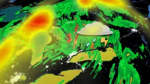
Extreme rainfall and dangerous storm surge are also likely when the storm reaches the Koreas, even though the storm will dissipate rapidly as it moves through the peninsula into northeastern China.
The storm has no chance of making a direct impact of Canada, but due to a complex series of atmospheric teleconnections, it will indirectly influence a major cooldown for much of eastern North America next week.
Typhoons are cyclonic tropical systems that form in the exact same way as hurricanes, though they are named differently depending on the ocean. They are called typhoons in the northern Pacific, hurricanes in the Atlantic and eastern Pacific, and cyclones in the Indian Ocean and South Pacific.