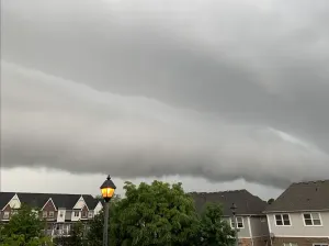
Nocturnal storms march through southern Ontario, threat again on Thursday
The widespread thunderstorm risk persists into Thursday after a round of nocturnal storms marched through the province overnight Wednesday
Folks in southern Ontario may have gone to bed Wednesday night or woken up in the night to thunder, lightning, and heavy rain outside. The thunderstorm threat doesn't end when the Sun rises on Thursday, though.
SUMMER 2024: Get an in-depth look at the Summer Forecast, tips to plan for it, and much more!
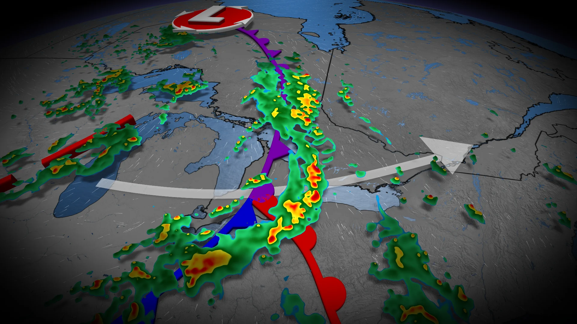
A low-pressure system will settle over Ontario from Thursday to Saturday, bringing bouts of unsettled weather including the risk of additional thunderstorms. A storm severe risk exists in parts of eastern Ontario on Thursday.
Be sure to stay up-to-date on all of the weather alerts in your area, especially with the growing thunderstorm chances as we inch even closer to the official start of summer this month.
Thursday through Saturday: Extended stretch of cooler, unsettled weather

The low-pressure system will position itself over Ontario from Thursday to Saturday, bringing bouts of unsettled weather including the risk of thunderstorms.
There is a slight chance that higher thunderstorm energy noses north into eastern Ontario, with a potential of 1-2 cm hail in parts of the region by the afternoon.

Unsettled conditions are likely to continue into the start of the weekend for most of Ontario, with lingering showers through Sunday, as well.
Temperatures will likely be below seasonal by about 5°C across southern Ontario on Saturday, with cooler troughing overhead. The province's hot spot will likely be near James Bay as daytime highs soar into the low- to mid-20s.
Conditions will remain cooler for the second half of next week, lasting into Father's Day weekend. A warmer pattern will return during late June.
Be sure to check back for the latest weather updates across Ontario.