Tropical feel in southern Ontario with humidity fuelling storm threat
The second half of the Victoria Day long weekend heralds the arrival of a steamy, summer-like air mass in southern Ontario, bringing the threat of thunderstorms on Sunday and Monday –– so ensure you plan ahead before partaking in any outdoor activities
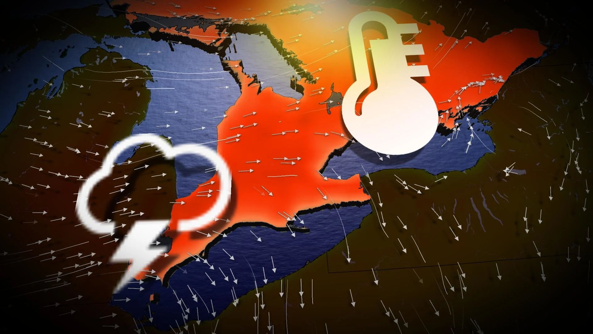
The rest of the long weekend in southern Ontario will feel like the summer as a sweltering air mass hovers across the region Sunday and Monday, lingering into the upcoming week, as well.
With humidex values pushing into the 30s for many locales on Sunday, several areas will also have the chance to hit the 30-degree air temperature mark including Windsor, Sarnia, Barrie, Niagara Falls, Brockville, Cornwall and Ottawa.
DON'T MISS: Millions at risk as land sinks beneath major coastal cities, study finds
As a result of the heat and sticky air mass, the ingredients are there for the risk of thunderstorms on both days, with a chance that some could reach severe criteria on Sunday in the extreme southwest. So, plan ahead and be weather-aware both days if you are wanting to enjoy the summer-like warmth outdoors.
Steamy, stormy Sunday ahead
The fog will dissipate amid the bright sunshine. Southerly winds streaming into a low-pressure system over northern Ontario will drag warm, slightly muggy air into the province heading into our Sunday.

RELATED: Safety tips to avoid a lightning strike during a thunderstorm
Widespread warmth will cover the region through the afternoon hours. Elevated humidity levels will lend a truly summery feel to the air, pushing humidex values over 30 for communities away from the influence of the cooler lakes.

Actual air temperatures could push the 30-degree mark in spots over the next few days, including for folks in Windsor, Sarnia, Barrie, Niagara Falls, Brockville, Cornwall and Ottawa.
A front plowing across the Great Lakes could spark scattered thunderstorms from Windsor to Sudbury. The non-severe storms will be capable of producing strong winds, heavy rain and small hail.

An area we will be monitoring closely for severe storm potential will be extreme southwestern Ontario, where it could seeing more potent cells that may produce large hail.
Keep an eye on the radar if you’ve got outdoor plans and stick close to sturdy shelter in case a thunderstorm approaches your area.

Lightning is the most dangerous hazard in any storm. If you’re close enough to hear thunder, you’re close enough to be struck by lightning.
Sunburn risk this weekend and beyond
Folks who don’t see thunderstorms will enjoy bright sunshine that’ll help drive temperatures toward those June-like highs.

We’re firmly in sunburn season now with UV index readings pushing 9 across southwestern Ontario and in the upper single digits well into cottage country. Don’t forget to grab the sunscreen or else you might suffer a nasty burn.
Warmth sticks around into the early week
This pattern won’t stick around forever, but it’s not in any hurry to leave, either.

Monday will look like a rerun of Sunday for many communities across southern Ontario as warm and humid air continues blowing over the region.
We’ll see a renewed threat for thunderstorms across the eastern Great Lakes, including the Greater Toronto Area and up into cottage country. Lake breezes pushing into the muggy air could spark scattered thunderstorms.

Things will start to change by Wednesday as a strong low-pressure system is expected to develop near Lake Superior.
A cold front extending off this low will drag across southern Ontario, sending temperatures back toward more seasonable levels for the latter half of the workweek.
Humidity levels will drop by Thursday, and we should see temperatures back around seasonal in time for Friday.
Check back for all the latest on your forecast across Ontario this holiday weekend.