Active Alerts Amelia, TX
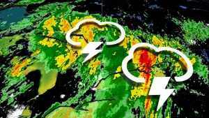
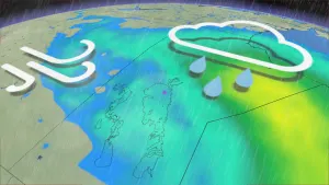
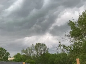
...The Flood Warning is extended for the following rivers inLouisiana...Texas...Calcasieu River Near Salt Water BarrierCalcasieu River Near OberlinPine Island Bayou Near Sour Lake...The Flood Warning continues for the following rivers inLouisiana...Texas...Calcasieu River near White Oak ParkCalcasieu River Near GlenmoraMermentau River Near MermentauSabine River Near DeweyvilleNeches River at Neches River Saltwater BarrierAdditional information is available at www.weather.gov.The next statement will be issued Wednesday evening at 900 PM CDT.* WHAT...Moderate flooding is occurring and moderate flooding isforecast.* WHERE...Neches River at Neches River Saltwater Barrier.* WHEN...Until further notice.* IMPACTS...At 6.0 feet, Colliers Ferry Park is under water, andflooding of secondary roads near the river can be expected.* ADDITIONAL DETAILS...- At 8:15 PM CDT Tuesday the stage was 6.0 feet.- Recent Activity...The maximum river stage in the 24 hoursending at 8:15 PM CDT Tuesday was 6.1 feet.- Forecast...The river is expected to fall to 4.6 feet Sundayevening.- Flood stage is 4.0 feet.- http://www.weather.gov/safety/flood