Ontario: Showers move out, but gusty winds linger

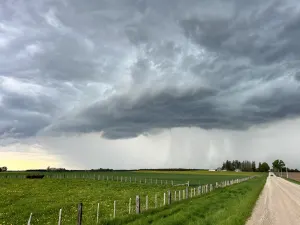
Rain showers have largely drifted out of the province, but they leave behind gusty winds.
The Sunday night fireworks show would have been a mixed bag across southern Ontario, with warm temperatures but also intermittent showers for many, as well as a few rumbles of thunder. Monday, by contrast, looks somewhat less rainy, but cooler and with lingering gusty winds. What to expect, plus a look the lingering unsettled conditions that stretch into next week, below.
Get a head start on the season with our Complete Guide to Summer 2019
WEATHER HIGHLIGHTS
Strong wind gusts in the wake of departing system
Temperatures drop back to seasonal Monday, cooler in cottage country
Latest watches and warnings HERE
WATCH BELOW: WHEN TO EXPECT THE NEXT SHOWERS
Skies in southwestern Ontario will largely clear throughout the early hours of Monday as the departing system tracks east across the province. Central Ontario, as well as Kingston through to Ottawa, could see some brief rain showers throughout Monday afternoon, which should clear out by the early evening.
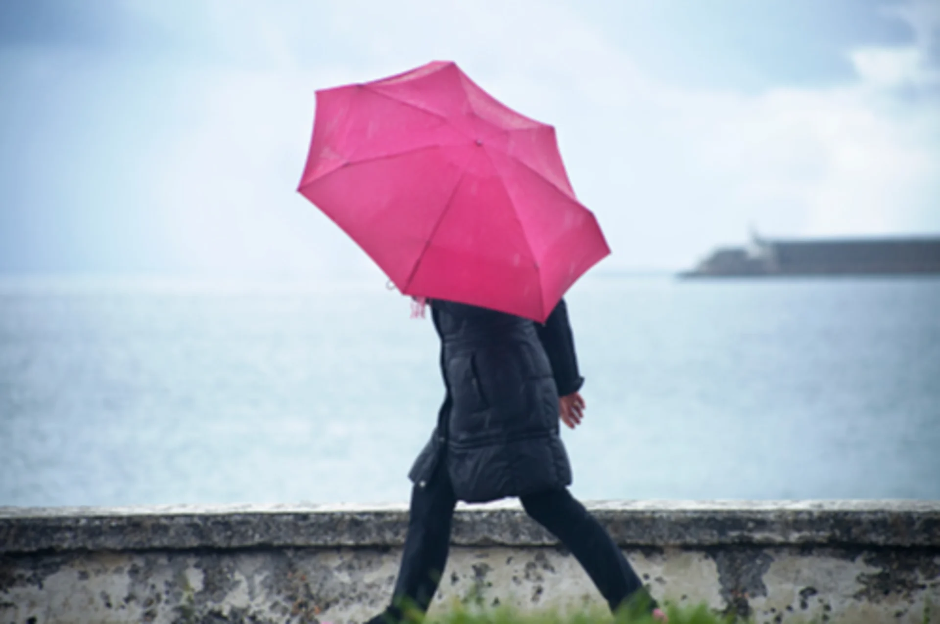
Stiff winds will be left in the wake of Sunday’s storms, and gusts could reach between 40 to 60 km/h throughout the day on Monday.
WATCH BELOW: WIND GUST TIMING
Wind gusts of this strength have the potential to toss loose objects and could result in large waves forming along the shorelines of lakes Ontario and Erie.
Temperature-wise, Monday is looking cooler than Sunday, with daytime highs in the mid teens, though cottage country communities will struggle to reach even that.
Presently, Ontario's next shot at showers appears to be early Wednesday, largely in the southwest. Check back as we continue to monitor.
SEE ALSO: Ontario cottage SINKS into river after floods, recovery continues
LAKE ONTARIO WATER LEVELS SHOW NO SIGNS OF SLOWING
Water levels in Lake Ontario have topped 75 metres and were sitting at 75.76 m (and rising) as of Saturday -- less than 20 cm shy of the severe flooding levels (75.93 m) that swamped the Toronto Islands in 2017.
High water levels have already forced the closure of sections of the Waterfront Trail in Hamilton.
WATCH BELOW: LAKE ONTARIO LIKELY TO SURPASS 2017 FLOODING
The body responsible for regulating flow from the lake -- the International Lake Ontario – St. Lawrence River Board -- expects water levels to continue rising until late May or early June, with a peak number that will fluctuate depending on rainfall across the region and other factors downstream on the St. Lawrence Seaway.
"Whether or not the 2017 levels will be exceeded this year, will depend on precipitation in the coming weeks," said the Toronto and Region Conservation Area in their latest update on May 16. "Once peaked, water levels in Lake Ontario will then take several weeks to recede back down to normal levels."
The TRCA renewed the Lake Ontario Shoreline Hazard Warning on Thursday, and it's expected to remain in place until further notice.